
Java Graticule 3D
Advanced geodetic network estimation tool
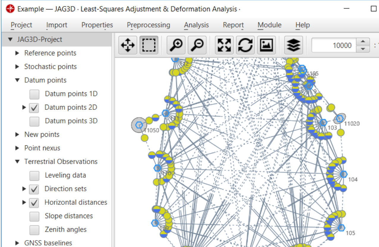
Description
Java Graticule 3D is a specialized software solution for precise geodetic calculations and network estimations. Featuring a streamlined interface and comprehensive toolset, it enables professionals to perform complex transformations and spatial analyses with ease. The software supports cross-platform compatibility for Mac and Linux systems, offering robust 3D earth visualization and sophisticated map rendering capabilities. Ideal for surveyors, engineers, and geospatial analysts working with geographic data visualization and coordinate system transformations.
Screenshots
Click to view full size