
GeoNetwork
Manage geospatial metadata efficiently
Description
GeoNetwork is an open-source platform designed for geospatial metadata management. It enables government bodies, research institutions, environmental organizations, and urban management units to publish, share, search, and manage geographic data seamlessly. Whether you handle map data, remote sensing information, or GIS datasets, GeoNetwork standardizes and organizes them, making it easy for users to quickly locate and access the data they need. By fostering data interoperability and accessibility, it supports informed decision-making and collaboration across various sectors.
Screenshots
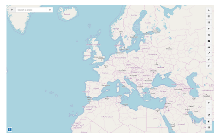
Click to view full size