
GeoServer
GeoServer shares and analyzes geospatial data
Description
GeoServer is a specialized server designed for professionals who work with geospatial data. It enables users to efficiently analyze spatial information and create detailed, interactive maps. Compatible with Mac and Linux systems, it supports various data formats and standards, making it easy to integrate with existing GIS workflows. Whether for urban planning, environmental monitoring, or business analytics, GeoServer provides robust tools to visualize and disseminate geospatial insights securely and scalably.
Screenshots
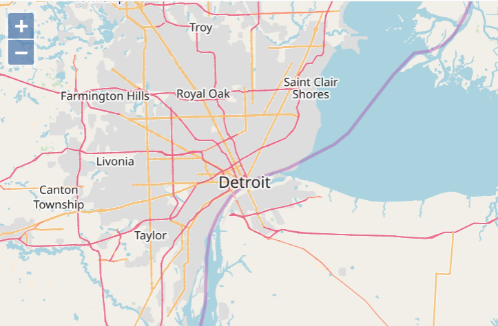
Click to view full size