
GeoRefImg
Georeference raster images in AutoCAD
Description
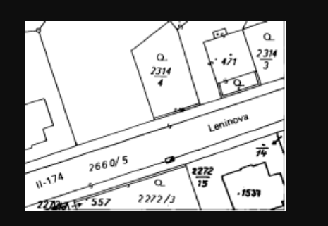
GeoRefImg is a specialized tool that brings precise geospatial context to your AutoCAD projects. It allows you to georeference raster images—like aerial photos, scanned maps, or satellite imagery—directly within plain AutoCAD. Define custom scales, rotations, and positions to align your images accurately with real-world coordinates. With support for a wide array of file formats, it seamlessly integrates external data into your drawings. This streamlines workflows in surveying, civil engineering, and planning, enabling you to create accurately scaled and positioned base maps without needing complex GIS software.
Screenshots
Click to view full size